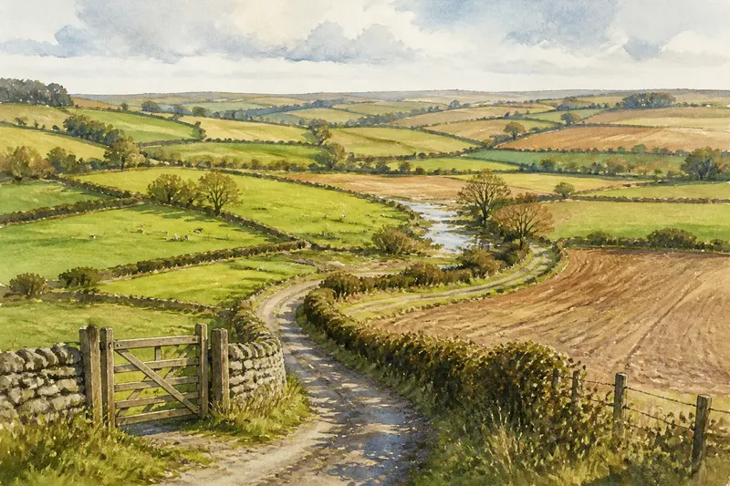
The Shortcut That Was Never a Public Path
Learn how to tell a familiar track from a public path, check its recorded status and choose a sensible route when rights are unclear.
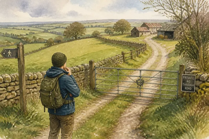
You cut across a grassy track to reach the lane, as you have done for years, and meet a locked gate where it joins the road. The shortcut looks like a path, but appearance alone does not make it public. To check whether a track is a public path, separate what you can see on the ground from the route’s legal status.
Does a track become public because people use it?
No. A track may be a public right of way, a private route, a permissive path, or simply a way across land that has not been formally designated for public use. These can look much the same underfoot.
A public right of way is a route the public has a legal right to use for a particular purpose. The type of right matters: a footpath is for walking, a bridleway also permits riding and leading a horse, and a byway may allow certain vehicles. The route’s status is not decided by whether it looks broad, well-worn or convenient.
Longstanding use can sometimes be relevant to how a public right is established, but it does not settle the question by itself. The details depend on the location and the evidence available. A track used by farm workers, residents or invited visitors may still be private, even if their passage has made a clear line through grass.
What clues on the ground can and cannot tell me?
Signs, gates and surfaces offer clues, not a complete answer. A public-path marker may identify a route, while a sign saying “private” or asking walkers to keep out may indicate restricted access. But a missing sign does not prove that a way is public, and a sign’s wording may not tell you the route’s full recorded status.
Look for a waymark, a fingerpost at a junction, or a path symbol on a local map. Notice where the line goes, too: a track leading from a farmyard to fields may serve the holding, while a narrow path joining two lanes may appear to offer a useful crossing. Neither shape determines the right of access.
Think of a track like a door in a boundary wall: being visible and easy to open does not tell you who has permission to pass through it. The route’s designation is the equivalent of checking who holds that right.
Where can I check whether a route is officially recorded?
Start with the local authority responsible for public rights of way. In England and Wales, the definitive map and statement are the formal record to consult; councils may provide an online version or tell you how to inspect it. Scotland and Northern Ireland use different systems, so check the relevant local access authority or official mapping service for the area.
Compare the mapped line with the track on the ground. A route can bend or run beside a field edge, and a small difference in position may matter at a gate or junction. Read the accompanying statement where available: it can describe the route and the rights recorded for it, rather than showing only a line.
Ordnance Survey maps are useful for orientation, but a mapped path symbol should not be treated as the final legal record. If the definitive map is unclear, ask the rights-of-way team to explain the entry or the process for making a formal enquiry. Where the answer depends on a map entry, landowner information or local rules, follow the relevant authority’s guidance.
What is the difference between a public path and permission to cross?
A public path carries a public right of way; permissive access is allowed by the landowner, often on conditions that can differ from a public right. A private track may serve a house, farm, forestry operation or utility site, with access limited to people who have permission or a specific legal right.
Permission might be shown by a notice or an agreed route, but it should not be assumed from the track’s open appearance. A landowner may invite walkers to use a path without making it a public right of way. Conversely, a gate or stile on a recorded public path does not automatically mean the public has been excluded; its purpose and condition need to be considered in context.
Say you have followed a farm track to a stile for several seasons, but the map you check shows a public footpath joining the lane nearby, not crossing the farmyard. The sensible next move is to compare the mapped line with the recorded description and ask the council about the junction, rather than treating your familiar crossing as proof. Until you have clarity, choose a route whose public status is clear.
Can I rely on a route because it appears on a phone map?
Not on that basis alone. Digital maps can be helpful for finding paths, but their information may come from different sources and may not match the formal record. A dashed line, footpath icon or shared route layer is a prompt to check, not a substitute for checking.
Before setting out, compare the route with an authoritative local rights-of-way map, especially where a proposed shortcut crosses farmland, a yard or a private drive. Keep a lawful alternative in mind if the line proves uncertain or is blocked. Do not assume that a gate left open, a worn surface or other walkers’ presence changes the route’s status.
What should I do if a familiar shortcut is marked private?
Pause and check the recorded route before continuing. If you are already at the entrance, read any notice, avoid entering a clearly restricted area and use a public alternative while you make enquiries. If a public path appears to be obstructed, note the location and contact the local rights-of-way authority; do not remove a barrier or confront a landowner.
For the shortcut that was never a public path, the useful distinction is simple: familiarity describes your experience of the track, while designation describes the right to use it. Search the local record for the route, confirm where its line runs, and plan around what is actually shown. A short check before leaving home can prevent a convenient-looking line from becoming an uncertain crossing.